Forest Service and Volunteer Conditions Reports
Mt. Jefferson to Thielsen Wilderness – East of the Cascade Crest
The Deschutes National Forest provides a trails report which typically updates weekly or every two weeks. This is the most comprehensive information readily available for the Central Cascades, though it is specific to the east side of the mountains as that’s where the Deschutes is located. To access, go to the Forest’s current conditions page and follow the full trail reports link
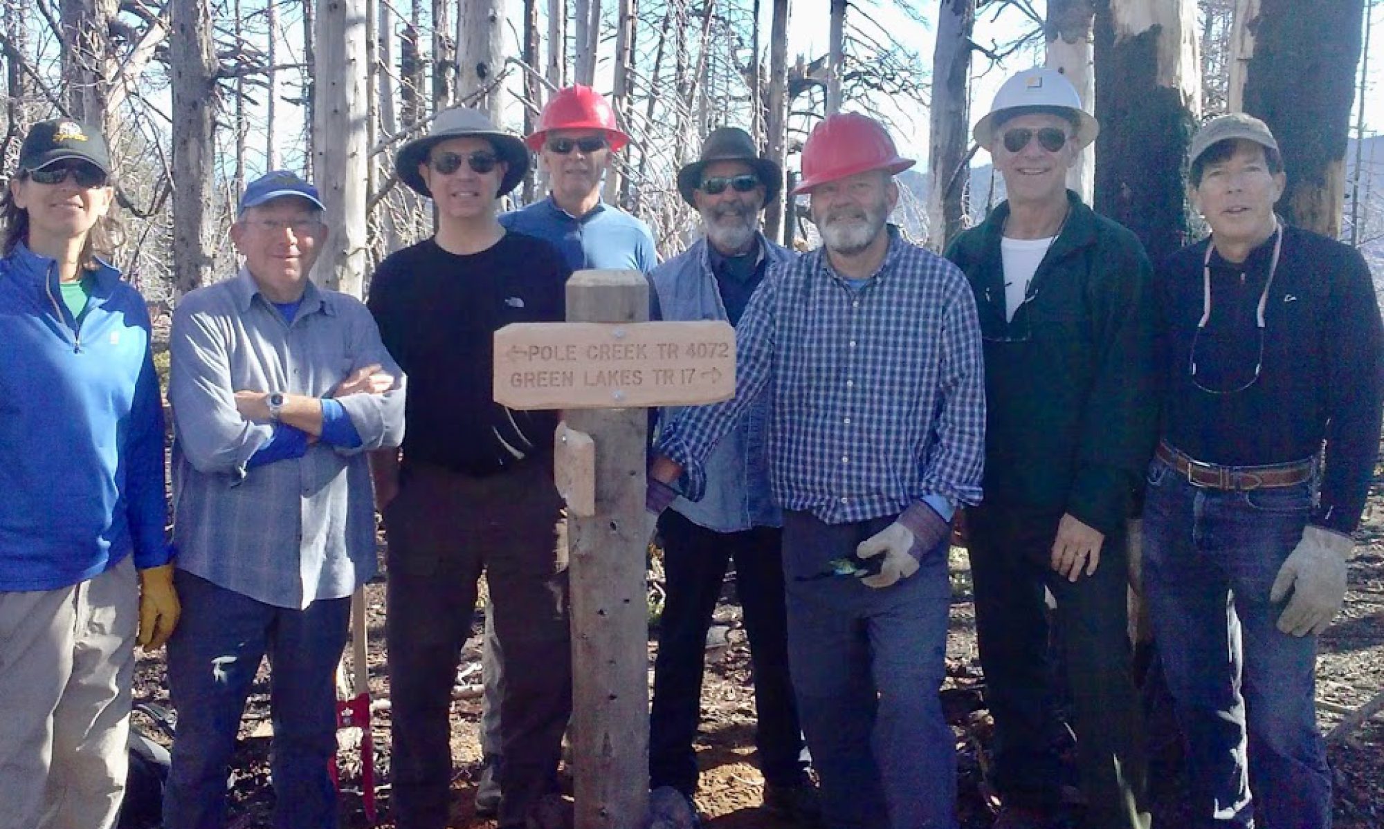
Cascades Volunteers (CV) maintains a Trail Conditions page with information about sections cleared and remaining blowdown and snow levels. Trail clearing tends to follow snowline upwards as the spring melts proceeds with trails taken in priority order. Cascade Volunteer’s trail condition page is a more significant resource than one might think; approximately 95% of log out within the Deschutes National Forest is done by volunteers with SWATS being one of the most active wilderness crosscut crews. FCCW does very limited logout at this point.
Mt. Jefferson to Diamond Peak Wilderness – West of the Cascade Crest
For information on the west side of the range, visit the Willamette National Forest’s current conditions page and follow the Recreation & Road Update links for the various ranger districts. Trails information is at the bottom of each district’s page. Both forests’ pages also provide information on road conditions, weather links, and campground status. The PCTA volunteers maintain some sections of the PCT in this area with FS trail crews doing parts as well. Cascade Volunteers groups such as SCORPIONS and SALAMANDERS do other trails. FCCW does limited logout here.
Mt. Thielsen Wilderness – West of the Cascade Crest
The Umpqua National Forest does not maintain a conditions page. But, for trips to the west side of the Thielsen Wilderness or along the Calapooya Divide, the Forest’s Alerts and Notices page may have some useful information about the Diamond Lake Ranger District.
Mt. Thielsen Wilderness – East of the Cascade Crest
Similarly, the Fremont-Winema Forest does not maintain a conditions page. But, for trips to the east side of the Thielsen Wilderness the Forest’s Alerts and Notices page may have some useful information about the Chemult Ranger District.
Other Federal and State Reports
 Snowpack Status
The USDA’s NRCS operates Oregon’s SNOTEL network. Each SNOTEL station provides daily, hourly, and historical data on snow depth, water equivalent, precipitation, and temperature. Depending on the SNOTEL site other instruments may be available.
NOAA is best known for weather forecasts. However, NOAA’s NOHRSC also provides Northwest snow analyses and interactive snow model. These are useful in tracking ski and snowshoe conditions as well as trail access as spring melt out proceeds. Both use fairly large model cells and hence may be off by several feet in any given location. But they offer a general overview of conditions and, unlike the primary bands of NASA’s spectrometers in orbit, are not blocked by clouds.
MODIS Imagery
The HJ Andrews subset of NASA’s AERONET program provides daily images of Oregon and Washington from the Aqua and Terra satellites. These provide a view of cloud cover, snow extent, smoke from fires, and so on from heliosynchronous orbits and are the best way to literally see what’s going on short of going out for a look.
Fire
NICC’s Predictive Services provides monthly and weekly fire potential outlooks and the Oregon Department of Forestry’s fire page includes county by county current fire potential as well as fire year and quite a bit of other information. Fire news for Central Oregon is primarily reported through the Central Oregon Fire Information blog with routine reporting from the Central Oregon Interagency Dispatch Center.

